
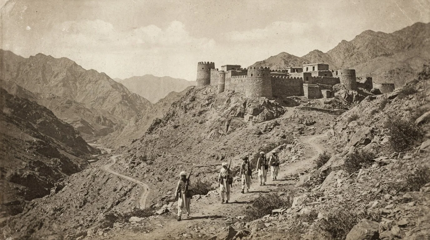
Following the Kabul Agreement of November 1893 between Sir Mortimer Durand and Amir Abdur Rahman Khan, joint commissions were dispatched to demarcate the frontier across Balochistan and the North-West Frontier.
The section dealing with Waziristan, operating from the camp at Wana under British Commissioner A.H. McMahon and Afghan Commissioner Sardar Gul Muhammad Khan, immediately confronted the complex geography of tribal ownership. Pasture lands used by the Ahmadzai Wazirs and Sulemankhel extended deep across the theoretical line.
The attack on the Wana Camp on 3 November 1894 was a direct tribal response to this cartographic enclosure. Historical maps and boundary pillar registers held in the POHAN archive illustrate how survey sheets were drawn in the field and where disputed pillars were contested.
Sources
- 1.Report on the Demarcation of the Baluch-Afghan and Waziristan Boundaries (1894–1896) — A.H. McMahonForeign Department, Government of India
- 2.Agreement between the British Government and the Amir of Afghanistan, 12 November 1893Parliamentary Papers, London